Wellness
Munich's Best Walking Trails Rated by Distance and Difficulty
From a flat riverside stroll to a lung-burning ridge hike, here is where to lace up this summer across the city and its green fringe.
4 min read
Wellness
From a flat riverside stroll to a lung-burning ridge hike, here is where to lace up this summer across the city and its green fringe.
4 min read

Munich has more than 7,000 hectares of public green space within its city limits, and on any given Saturday morning in July, every trail within a 20-kilometre radius fills up before 9 a.m. The city's official Grünflächen programme, managed through the Baureferat, has mapped 34 signposted walking routes since its 2023 expansion, yet most residents still only know two or three of them. That's a missed opportunity, particularly now, when the combination of summer heat and post-pandemic fitness habits has pushed demand for outdoor exercise to a measurable high.
Interest in outdoor fitness spiked sharply across German cities after the Robert Koch Institute's 2025 activity report found that 61 percent of Germans aged 18 to 65 now list walking as their primary weekly exercise, up from 47 percent in 2019. Munich, with its position at the northern edge of the Alps and its ring of English-garden-style parks, is unusually well placed to absorb that demand. The question is which routes actually match your legs to your lunch hour.
The Isar-Radweg riverside path between the Deutsches Museum on Museumsinsel and the Flaucher island to the south runs roughly 4.5 kilometres one way on a flat, well-maintained gravel surface. It crosses no significant elevation and suits any fitness level, including runners pushing prams. On weekdays the path is quieter south of the Wittelsbacher Brücke; weekends draw crowds from Gärtnerplatzviertel all the way down. Allow 55 minutes for a comfortable one-way walk; the No. 25 tram returns you to the centre.
A step up in length: the Nymphenburg Canal walk, which starts at Schloss Nymphenburg in the west of the city and tracks the straight canal east toward Neuhausen-Nymphenburg for 3.2 kilometres before looping back through the palace grounds. Total loop distance is about 8 kilometres. The towpath is almost completely flat. Park entry is free; the palace grounds open daily from 6 a.m., which makes this an excellent early-start option before the tourist coaches arrive around 10 a.m.
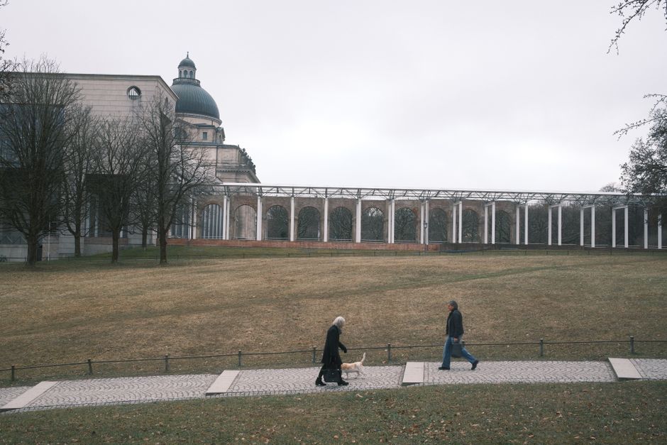
For something with genuine elevation, the Hirschgarten to Romanplatz ridge loop via the Nymphenburg Schlosspark northern boundary adds around 40 metres of cumulative climb over 6 kilometres — modest by Alpine standards but enough to raise your heart rate on the park's wooded northern berm. The München Wanderfreunde club, which has operated guided urban walks since 1902 and currently counts about 1,400 members, runs a free public walk along this corridor on the first Sunday of each month, departing from the Hirschgarten beer garden at 8:30 a.m.
Leave the city limits and the difficulty jumps fast. The Forstenrieder Park trail system, about 12 kilometres south of Marienplatz and accessible via the S7 to Solln, offers a 14-kilometre marked loop through managed woodland with soft forest floor underfoot. Elevation gain is around 120 metres. The Bavarian State Forestry Office (Bayerische Staatsforsten) maintains the waymarking and publishes a free PDF map updated in April 2026 on its website. Bring water; there are no kiosks inside the park.
The most demanding day-hike reachable by public transport from Munich city centre is the Benediktenwand ridge in the Tölzer Land district, roughly 70 kilometres south. The standard ascent from Benediktbeuern is 10.5 kilometres return with 1,100 metres of elevation gain — a proper mountain day requiring boots, layers and an early S-Bahn departure. The Bayern-Ticket, valid on all regional trains and priced at €29 for a single traveller as of June 2026, covers the full journey from Munich Hauptbahnhof.
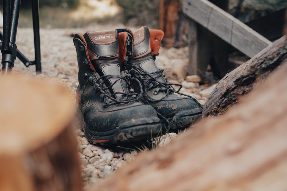
Before heading out on any route beyond the city parks, download the Komoot app or pick up a Freytag & Berndt 1:50,000 map of the relevant grid square from the outdoor shop Sport Schuster on Rosenstrasse, which has stocked Munich-region trail maps continuously since 1913. Heat this July has been significant — temperatures hit 34°C in Schwabing on June 28 — so carry at least one litre of water per hour of walking and start before 8 a.m. on exposed routes. As always, consult your GP or a Munich-based sports medicine practitioner before taking on steep terrain if you have cardiovascular concerns.
About this article
Published by The Daily Munich
Spread the word
Daily brief
Free, in your inbox before 7am. Weekdays.
The Daily Network — local news across Australia